AI TOOL / #08666
Flypix
A geospatial AI platform for Earth observation data that provides object detection and analysis.
Introduction
Geospatial AI platform for object detection and analysis on Earth observation data.
What is FlyPix AI?
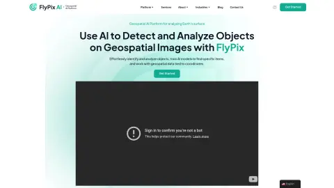
FlyPix AI is a geospatial AI platform that allows users to detect and analyze objects in geospatial images. It enables users to easily identify and analyze objects, train AI models to locate specific items, and process geospatial data associated with coordinates. The platform requires no prior knowledge of AI or machine learning.
How do I use FlyPix AI?
Users can upload geospatial images to the FlyPix AI platform, use the interactive sandbox to explore features, manually annotate objects to train custom AI models, and then use these models to automatically detect objects in new images.
Core Features of FlyPix AI
Object Detection and Analysis in Geospatial Images
Train AI models without any programming knowledge
Interactive Sandbox for Exploring Capabilities
Geospatial data associated with coordinates
Supports multispectral data
Train AI models without any programming knowledge
Interactive Sandbox for Exploring Capabilities
Geospatial data associated with coordinates
Supports multispectral data
Related
AI-Stock-Predictions.com
Artificial Intelligence based stock predictions and trading signals for multiple financial instruments.
Mercury: Degiro Portfolio Tracking, Visualizations & AI Metrics
An AI-powered tool for tracking and visualizing investment portfolios offered by Degiro, featuring advanced analytical capabilities and privacy protection features.
DisputeAI
AI-based legal technology protects consumer rights and repairs credit.
bioPulse
A platform that uses AI to simplify clinical trial data for retail biotech investors.
Calypso
An artificial intelligence-powered public stock assistant, designed for investment analysis and tracking purposes.
Cloudgov.ai
Agentic AI platform for autono...